Share Bush Fire Prone Land Map on FacebookShare Bush Fire Prone Land Map on TwitterShare Bush Fire Prone Land Map on LinkedinEmail Bush Fire Prone Land Map link
Consultation has concluded
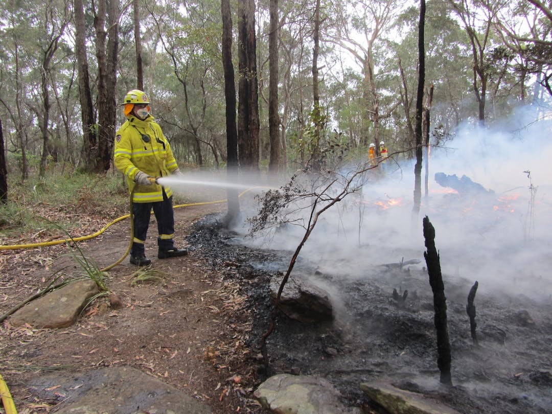
The NSW Rural Fire Service requested all Councils to review Bush Fire Prone Land Maps under the revised Guide to Bush Fire Prone Land Mapping, November 2015 for recertification by the NSW Rural Fire Service. A consultant was recently engaged by Council to prepare a report regarding vegetation categories and this resulted in the suggested reclassification of vegetation in some areas.
The NSW Rural Fire Service has created a Draft Bush Fire Prone Land Map that is now available to view for a period of twenty one (21) days. Please leave any comments in the Survey section below before consultation closes at 5pm Wednesday 3rd May 2017.
The following Reserves have been downgraded from Category 1 (highest risk of bush fire) to Category 2 (lower risk of bush fire):
Ferndale Park, Chatswood
Northbridge Park (Golf Course), Northbridge
O.H. Reid Reserve, Chatswood West
The Keep, Castlecrag
Watergate Reserve, Castlecrag.
The following Reserves that were previously classified as Category 2 (lower risk of bush fire) have now been excluded from the map:
Beverley Blacklock Reserve, Castlecrag
Castlehaven Reserve, Castlecrag
Killingsworth Park, Northbridge.
The NSW Rural Fire Service requested all Councils to review Bush Fire Prone Land Maps under the revised Guide to Bush Fire Prone Land Mapping, November 2015 for recertification by the NSW Rural Fire Service. A consultant was recently engaged by Council to prepare a report regarding vegetation categories and this resulted in the suggested reclassification of vegetation in some areas.
The NSW Rural Fire Service has created a Draft Bush Fire Prone Land Map that is now available to view for a period of twenty one (21) days. Please leave any comments in the Survey section below before consultation closes at 5pm Wednesday 3rd May 2017.
The following Reserves have been downgraded from Category 1 (highest risk of bush fire) to Category 2 (lower risk of bush fire):
Ferndale Park, Chatswood
Northbridge Park (Golf Course), Northbridge
O.H. Reid Reserve, Chatswood West
The Keep, Castlecrag
Watergate Reserve, Castlecrag.
The following Reserves that were previously classified as Category 2 (lower risk of bush fire) have now been excluded from the map: