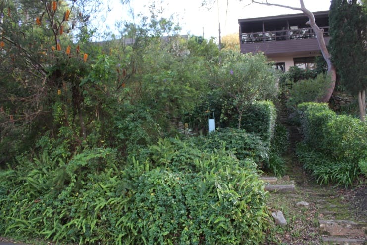
The Scarp to The Bulwark Pathway - Usage Survey

Share on Facebook Share on Twitter Share on Linkedin Email this link

Consultation has concluded

Council is seeking community feedback on the usage of existing access pathways in Castlecrag and to gauge the level of support for development of a pathway, between 18 The Scarp and 34 The Bulwark, to provide eastern access from the crest on Edinburgh Road to the foreshore.

Castlecrag residents and visitors to the foreshore bushland reserve area and walking tracks are encouraged to participate in a survey before consultation closes Monday 17 June 2019.

Community members wishing to participate will need to create a registration log in for this site.

The expected benefit gained through the construction of a 50 meter pathway at the site would be a reduction of pedestrian movement by 500 meters.

Approximately $100,000 per annum is allocated for construction of new paths or ‘missing links’ across the Local Government Area. No formal path currently exists at the site which will have construction challenges due to the steep topography, accessibility issues and existing stormwater pit/sewer services in situ.

Council has undertaken path utilisation surveys in and around the site to help understand existing pedestrian usage. To support this data, we need to understand the local origin-destination user experience, likelihood, purpose and frequency of a pathway built in this location to support the need for one.

Further information

As part of the consultation process for the Castlecrag Draft Footpath Masterplan in 2012, additional paths were requested by the Castlecrag Progress Association including the subject path linking The Scarp and The Bulwark. The Griffin Reserve Plan of Management (GRPOM) states that it is a desired part of the eastern pathway system providing access from the ridgetop (Edinburgh Road) to the foreshore and to streets and properties in between. Materials to meet with current safety standard are unlikely to be in keeping with the heritage visual amenity of the Castle crag area.

Your Privacy

Some personal information is required in this survey so that Council understands where respondents live in relation to the Castlecrag access pathway and reserve visitor destination.

Willoughby City Council takes the privacy of the participants using this site very seriously. Contact details are asked for so that we can advise respondents of the outcome or follow up on further details about your response.

All personal information collected will be kept in strict confidence. For further information regarding your privacy please refer to Bang the Table Privacy Policy at https://www.haveyoursaywilloughby.com.au/privacy or Willoughby Council at (External link)http://edocs.willoughby.nsw.gov.au/DocumentViewer.ashx?dsi=3085645
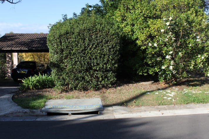
Scarp to Bulwark Pathway

Consultation has concluded