Update
Thank you to those who participated in the consultation on Willoughby Integrated Transport Strategy (ITS) 2036. The submissions made were reviewed and informed the creation of the final version of the Strategy, which was endorsed by Council at its meeting of 10 August 2020. The following documents associated with the consultation are provided in the Document Library on this page:
- Council Report - Final Willoughby ITS 2036 - 10 August 2020
- Response to submissions - Final Willoughby ITS 2036
- Final Willoughby ITS 2036 and Appendix
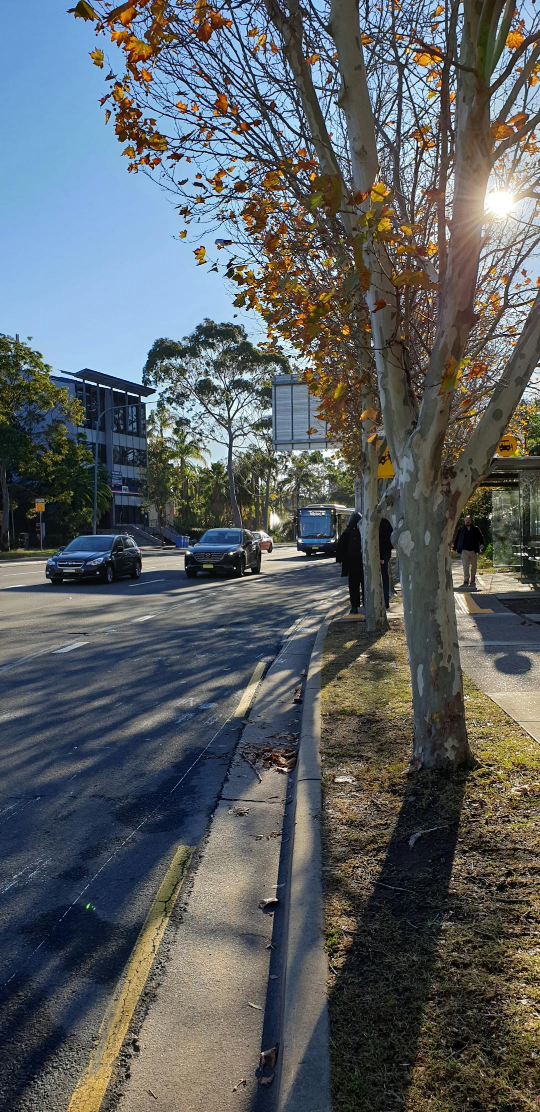
Further information on Willoughby ITS 2036 is available on our website.
Background
BeContinue reading
Update
Thank you to those who participated in the consultation on Willoughby Integrated Transport Strategy (ITS) 2036. The submissions made were reviewed and informed the creation of the final version of the Strategy, which was endorsed by Council at its meeting of 10 August 2020. The following documents associated with the consultation are provided in the Document Library on this page:
- Council Report - Final Willoughby ITS 2036 - 10 August 2020
- Response to submissions - Final Willoughby ITS 2036
- Final Willoughby ITS 2036 and Appendix
Further information on Willoughby ITS 2036 is available on our website.
Background
Be involved in planning our transport system by having your say about the draft Integrated Transport Strategy 2036 before Thursday 9 April 2020 (deadline extended from 23 March).
Our community has told us that being able to travel easily around Willoughby city and its centres and villages is a high priority. People also had concerns about the affect on local businesses and general liveability, including our health and wellbeing.
The draft Integrated Transport Strategy 2036 identifies the following five strategic directions for transport for our local area. Now we want to know if we got them right.
Willoughby’s transport system will:
• be sustainable
• link people travelling between the CBD and our local centres and villages
• support community needs while enabling growth
• make life easier by using smart technology to support growth
• respond to customer needs and align with government strategies
Please take a few minutes to review the draft Integrated Transport Strategy in the 'supporting documents' section of this page or at Level 4 of Council’s Administration building at 31 Victor Street, Chatswood from 8:30am - 5:00pm Monday to Friday.
Written submissions should be sent to email@willoughby.nsw.gov.au or posted to PO Box 57, Chatswood NSW 2057 by Thursday 9 April 2020.
A draft integrated Transport Strategy Information Session was held on Thursday 27 February 2020 6.30pm to 7.30pm at Willoughby Council Chambers.
Your Privacy
Willoughby City Council takes the privacy of the participants using this site very seriously.
Please note that comments made may be made available or reproduced in Council reports.
All personal information collected will be kept in strict confidence. For further information regarding your privacy please refer to Bang the Table Privacy Policy at https://www.haveyoursaywilloughby.com.au/privacy or Willoughby Council at http://edocs.willoughby.nsw.gov.au/DocumentViewer.ashx?dsi=3085645